
>> Friday, December 24, 2010
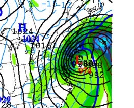
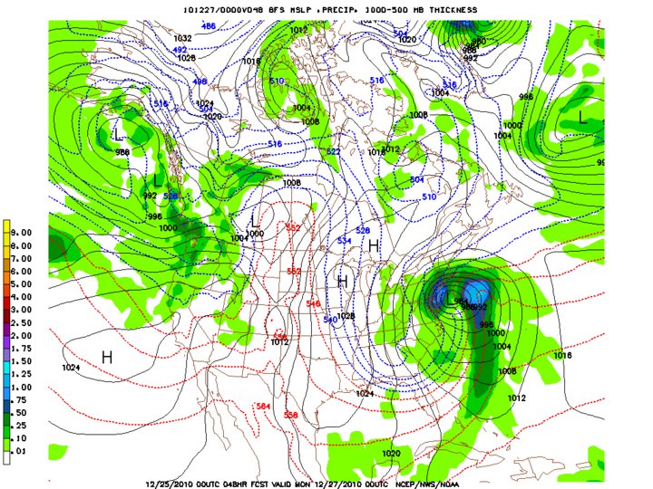
Before I hit the sack for tonight, I thought I would share the latest model of the storm. This model takes a look at the storm on Monday morning. And folks, if this were to be true, you would see heavy bands of snow and strong winds. I still believe that the storm has been pushed too far west all day today. The EURO model, one that has been very accurate, will not come out until late tonight. That model early this week had looked more like the one above but has been trending further east ever since. Tomorrow morning could be the difference.

0 comments:
Post a Comment